OpenSeaMap – Free Nautical Map
OpenSeaMap is project to create some free nautical map and
geographic data such as lights and buoys with contributions both from
official public data (with no copyright) and passionated individuals.
OpenSeaMap is part of OpenStreetMap and has created a cool online
editing interface that allows anyone to spend his experiences and
contribute to the map.
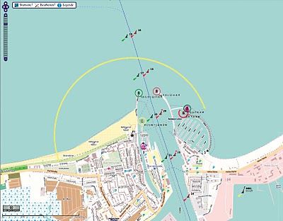 |
OpenSeaMap includes marine lights , buoys
and other navigation signals, port information , repair shops , craft
supplies and more. Also included are other associated services such as
shops , restaurants and attractions. This is not yet fully developed and
it is mainly available in Germany.
As the backend structure for the data is based on the s-57 vector
format (used by official ENC), it could be a good tool to develop some
cartographic online interface for implementing the info from the
official Notices to Mariners (NTMs) which provides timely marine safety
information for the correction of all the official navigation paper
charts.
How cool is this i would love to use it in my project
ReplyDelete